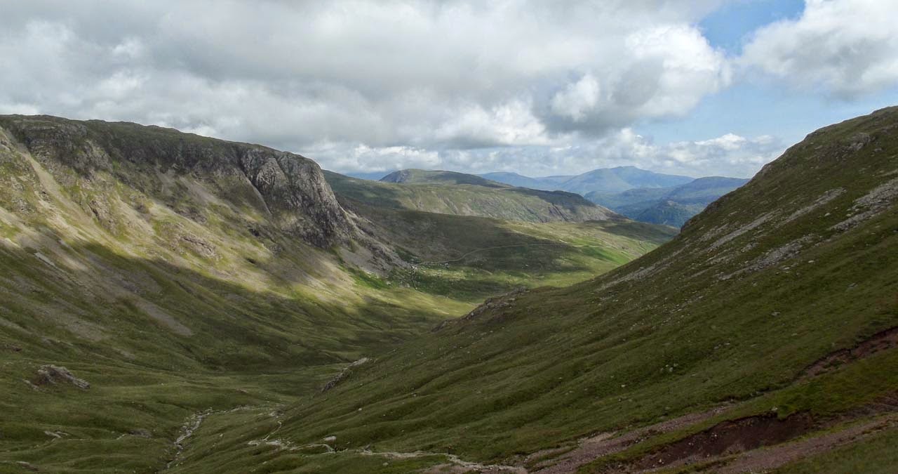
Standing 899 metres high Great Gable, along with it’s 801 metre sister Green Gable are a couple of the better known Lakeland Fells. Seen from it’s more southerly or westerly slopes, Great Gable has a definite mountain look to it with a strong pyramid form giving it it’s name.
I’d taken quite a few photographs of Great Gable on past walks with some of the best from the Corridor Route returning from a walk up Scafell. It was these photographs that inspired me to make a return trip and head up Great Gable this year.
My walk started at the parking area at Seathwaite, but as I think I cautioned before, this is a popular area. My walk was mid-week and on my return to my car there was a lot of other vehicles parked up. I can imagine that at the weekend, if you don’t get there early, you may struggle to park up.
The route I chose took me across Grains Gill and up by Sourmilk Gill. The path gets a little confusing near the waterfall as it makes a split not on the map. I took the right hand route that swept towards the waterfall and then away back up to the dry stone wall above.
This route past the waterfall and Seathwaite Slabs is a nice route as you can stop off and collect water to filter if that is your need. I did filter water from Sourmilk Gill and I think I found the source of the Gill’s name. The waterfall and other rocky sections are also a scramble route if that is an aim. I was on my own, so no such risks.
Looking to my right towards Borrowdale the weather was looking promising.
Once past Seathwaite Slabs you are taken around the back of Base Brown and up through Gillercomb. This is a small valley with Grey Knotts and Brandreth on your right and Base Brown on your left.
At the back of the valley is a steady climb up onto Mitchell Cove and a T-junction. Heading left leads onto Base Brown, right leads up onto Green Gable. Looking back, something I always take the time to do, you get a great view across to Blencathra between Grey Knotts and Base Brown.
The summit cairn of Green Gable is quite plane, but the views are worth it.
Continuing along the path and Great Gable comes into view across the other side of Windy Gap. This part of the walk reminds me of Scafell last year. Although the walk up Great Gable is slightly more challenging.
Looking roughly South-southeast I could just make out the summit of Ingleborough, 40 miles away, and Whernside slightly to it’s left. This is an indicator of the visibility.
Looking Northeast I could clearly see Haystacks, High Crag, Looking Stead and Pillar.
On the way up Great Gable I looked back at Green Gable and found that it isn’t entirely Green, it’s more rocky than I realised.
On the summit of Great Gable is another of the many War Memorials I have seen on my visits to the Lake District. It’s worth appreciating the fact that such a large count, with quite a small population, demonstrated it’s commitment to it’s country. And the benefits that they have bestowed on us.
From the summit of Great Gable I had fantastic views of Scafell,
Wast Water,
And Kirk Fell.
The path down towards Styhead Tarn was quite hard work. It’s a persistent drop that takes it’s toll on your knees and thighs. I wonder what going up it would be like.
It was hot dry weather, and at this point I had run out of water. But I found a nice stream leading off the tops just past Styhead Tarn where I filtered a couple of litres of water with my Sawyer Mini Filter. I’m so glad that the Sawyer goes everywhere I go now.
I really like the route down Styhead Gill, it is a really nice area with some great views of Seathwaite.
Walking back from Stockley Bridge I was able to appreciate how steep the route up past Sourmilk Gill was.
I do like this walk, with the little challenges adding to the experience. What a great day I had, pardon the pun.


No comments:
Post a Comment